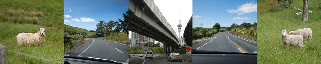
Good Morning
This is it, the big day we’ve been driving for: The Top of New Zealand! There’s quite a bit to do at the top of New Zealand – there’s the Cape Reinga lighthouse at the tip, there’s sand tobogganing and there’s 90 Mile Beach. It’s legal to drive the length of 90 Mile Beach on the sand, but the rental car companies won’t let you take their cars out there, and amatuers get bogged down in the sand and flooded at high tide almost every day. So we booked ourselves on a day long bus tour and left the driving to Paul. The 300 mile round trip takes all day, so we were picked up at our hotel at 7am.
An early start - up with the sun.
Gumdiggers Park
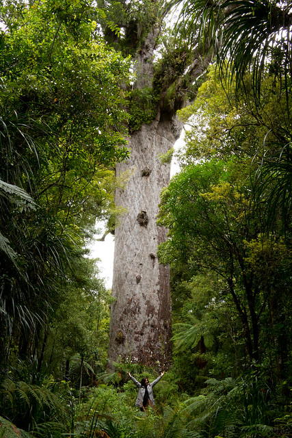
After picking up our bus mates and box lunches our first stop was at Gumdiggers Park. Gumdiggers were like California’s golddiggers, except this gold is dried sap from ancient Kauri trees, more commonly known as amber. In the 1800’s and early 1900’s it had tremendous industrial use as the main ingredient in resins and varnishes – of essential importance to sailing ships and furniture makers. The gum trade coincided with the devistation of the Kauri forests, similar to our logging of giant redwoods in California, so resourceful entrepreneurs began searching for amber in buried ancient Kauri forests preserved in the peat bogs of northern New Zealand – thus the name gumdiggers. Gumdiggers Park is a site still in the condition it was in the late 1800’s. Underneath the site are at least two layers of ancient Kauri forests which were destroyed by natural disasters and preserved in the bog. As part of the tour you visit a perfectly preserved non-petrified Kauri tree that is carbon dated at over 100,000 years old.
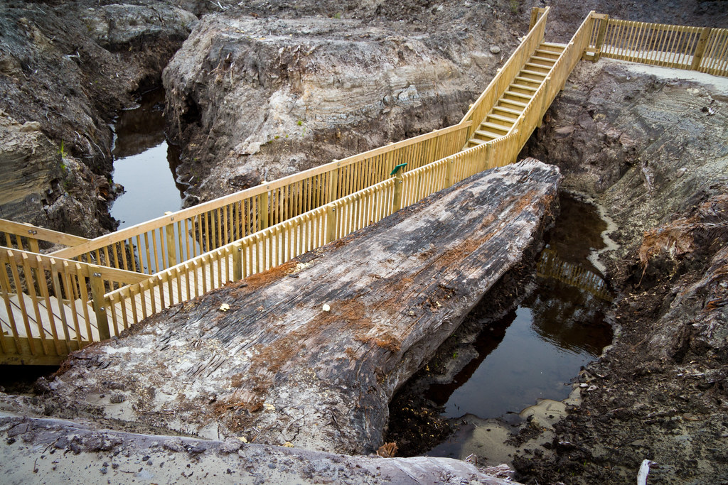
An ancient Kauri tree, estimated to be over 100,000 years old. The layer over it is from a forest that is 40,000 years old.
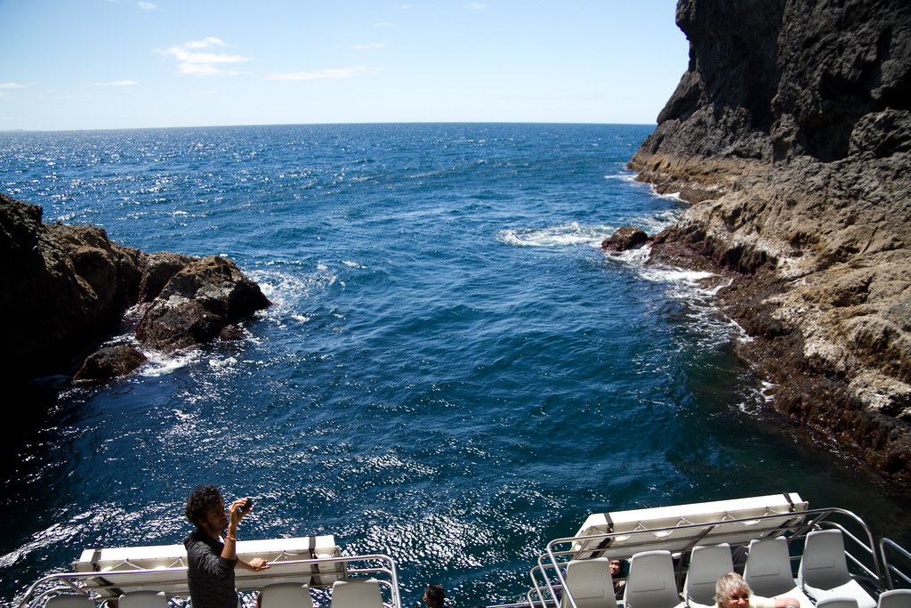
Cape Reigna – The Top
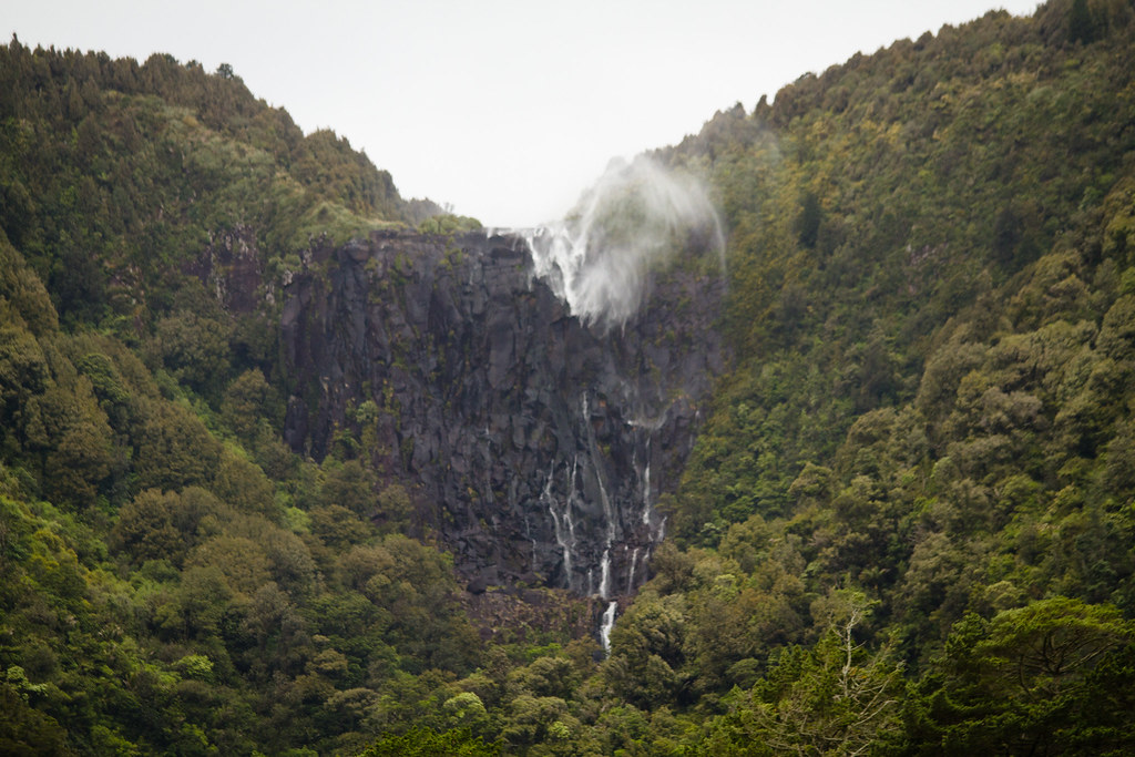
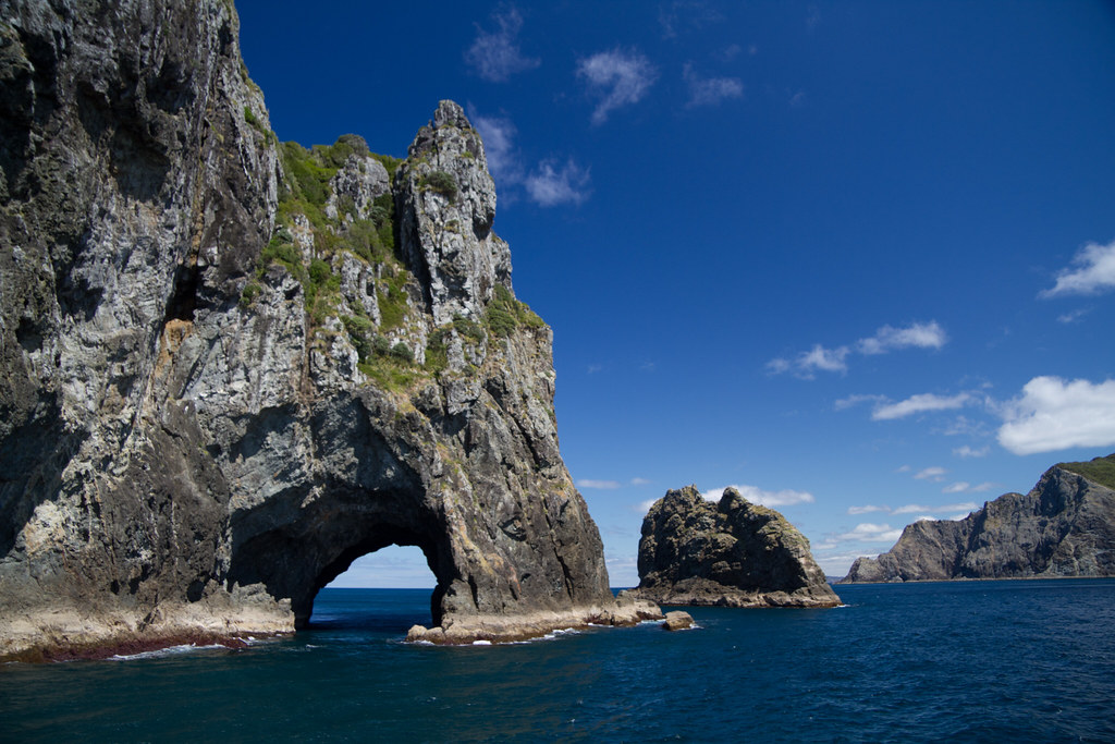
At noon we arrived at Cape Reigna. Part of my vacation algorithm is to go to The Top of Things – this generally leads to pleasant surprises, and at the very least to a nice view. New Zealand, however, has a stunning gift for you when you get there. Beyond the lighthouse, the Tasman Sea and the Pacific Ocean collide. Waves created by the prevailing Southerly winds arc around the top of the island and crash in a frothy seam. We were awed.
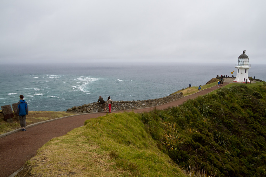
Cape Reigna, with the Tasman Sea (left) and Pacific Ocean (right) actively colliding.
Here’s a snippet of video I shot that will help:
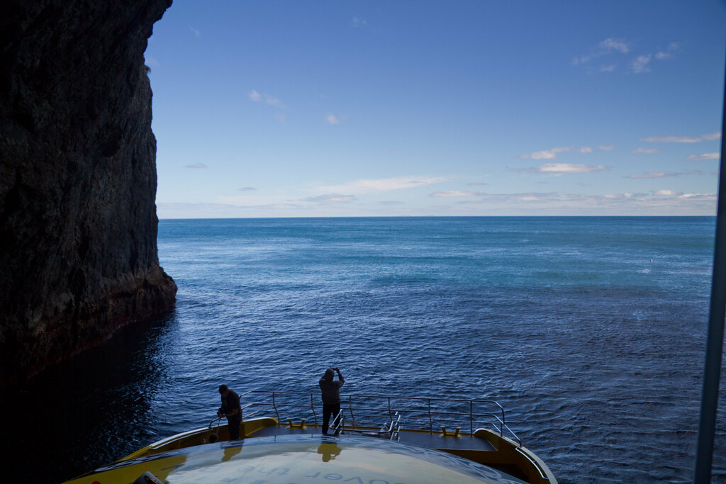
We tried to get some pictures in the wind, and it was quite challenging. Sarah did a great job of shooting me. I was trying to compose a good shot with her and the colliding seas behind her, but the wind was just going crazy. I ended up firing off a bunch of shots and laughing. Sorry dear!
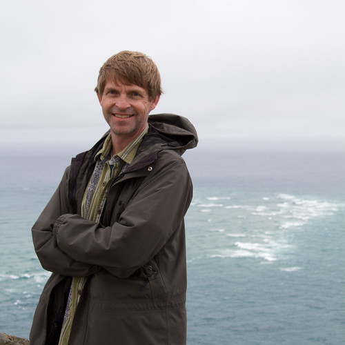
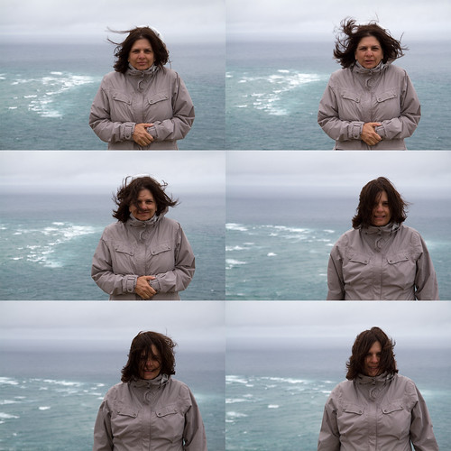
Us, at the Top of New Zealand
Sand Tobogganing!
The next stop was only about 15 minutes away at the top of 90 Mile Beach. Paul, our driver, slogged the huge bus through a river to get us to the biggest dune, then whipped out slick bottomed boogie boards for all of us.
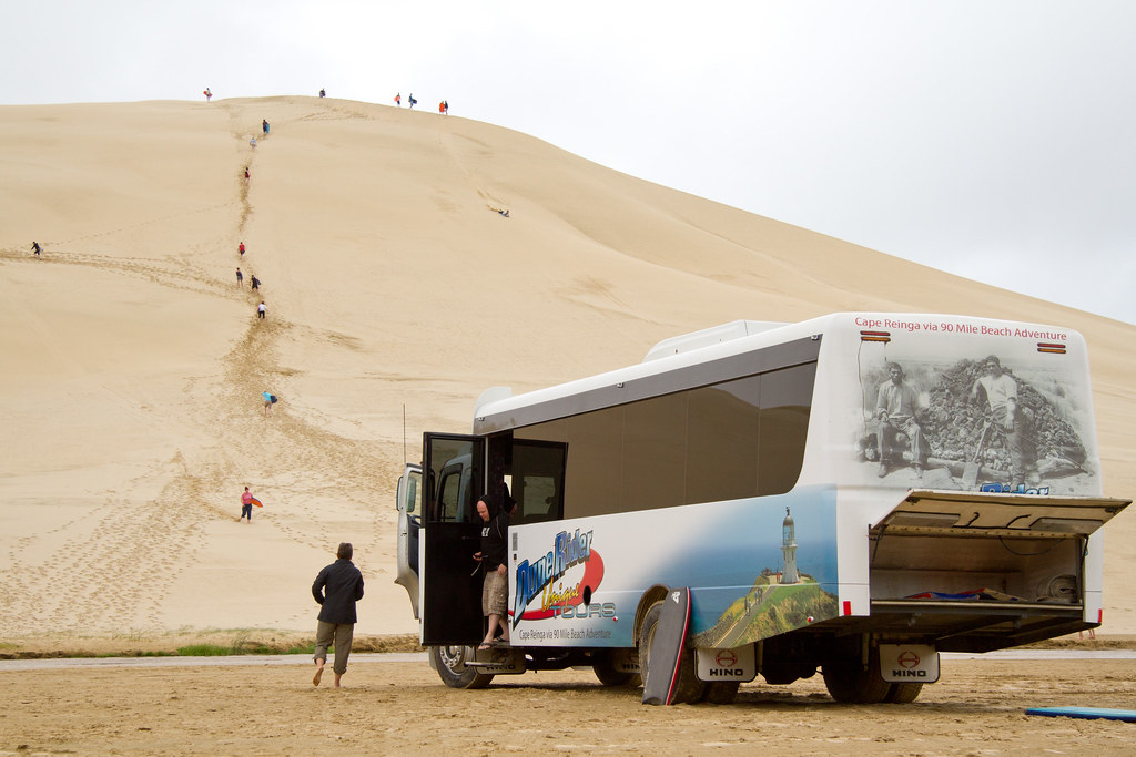
Our Tour Bus and Sand Dune
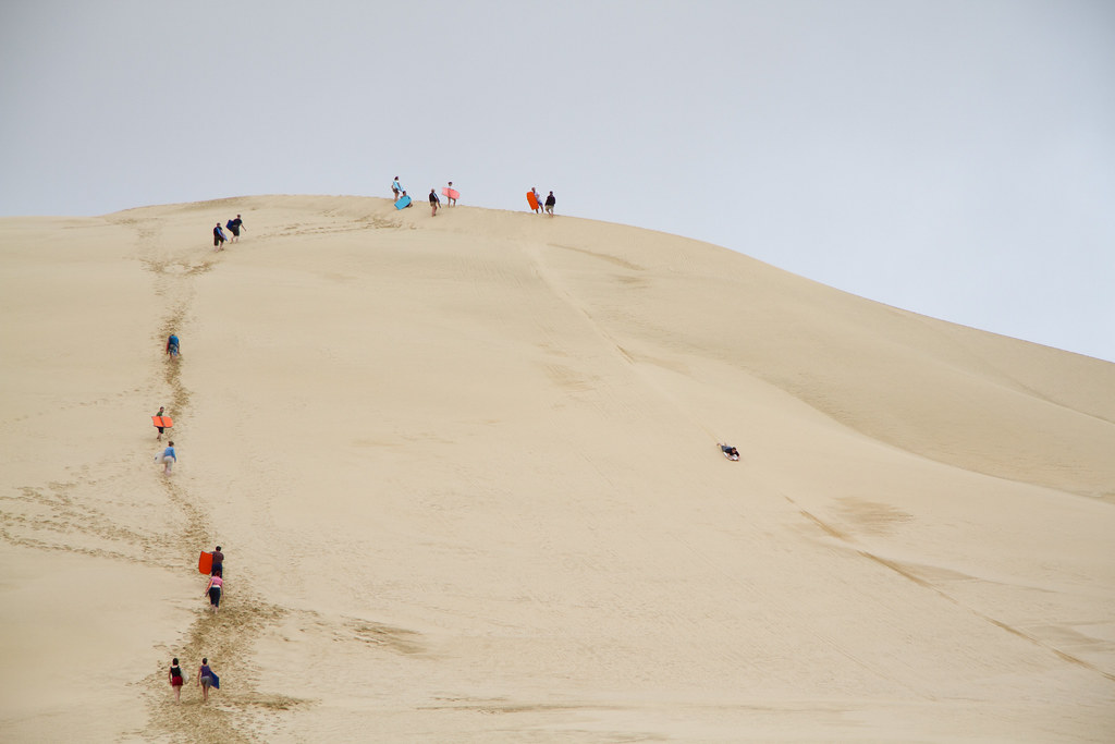
Long hike up, short ride down. Completely worth it.
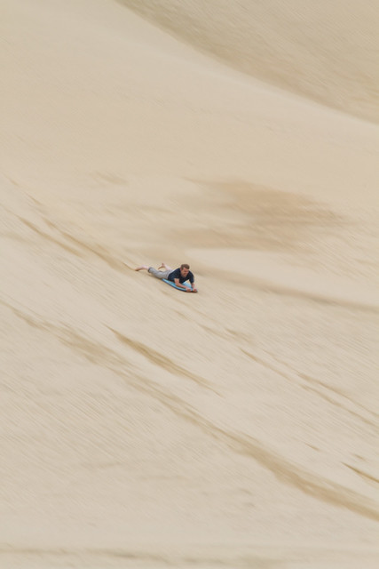
That is really fun. About two thirds of the way down the dune, I'm using my feet to steer a little bit. At the bottom is a very shallow river, if you keep enough speed you skip across it. Which I did, right into the far bank.
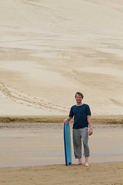
Survivor.
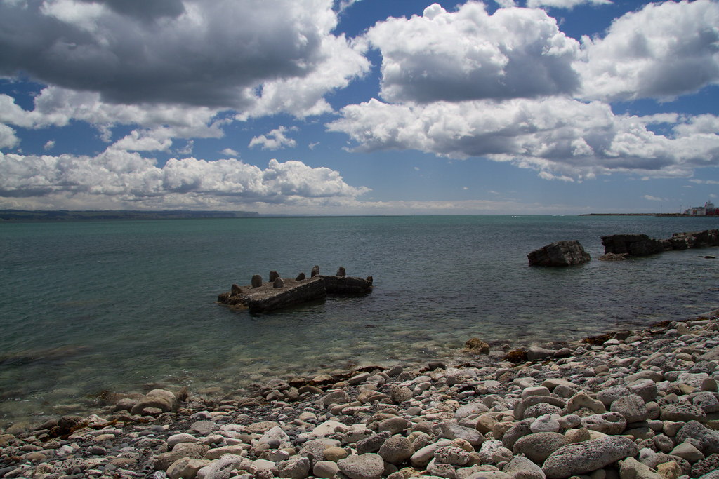
90 Mile Beach
The west coast of New Zealand is a 90 mile long beach that is completely undeveloped. It’s open to the public and you’re even allowed to drive on it. But not in a rental car, you fool! We rode the bus for an hour and a half down the beach with a view that rarely changed. It was serene and relaxing and beautiful to watch go by.
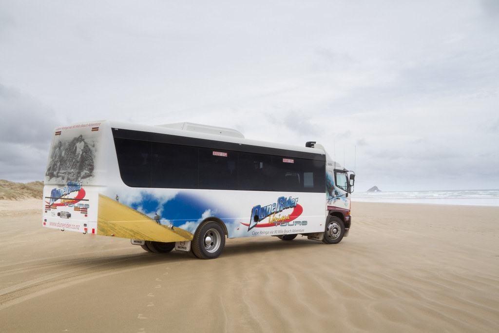
Our Bus, on 90 Mile Beach
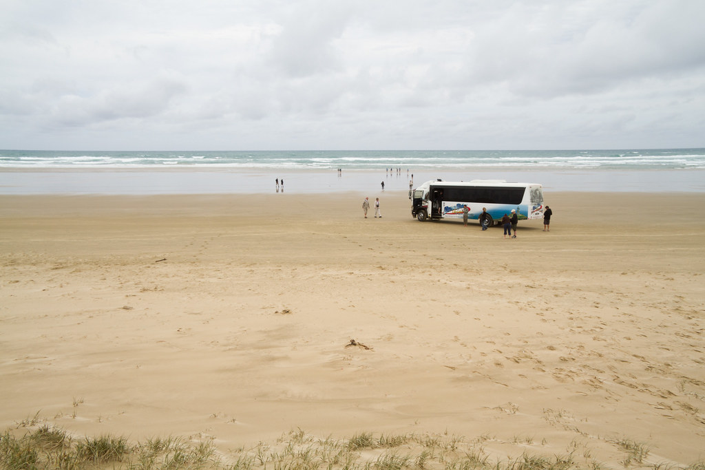
Bus stop. We stretched our legs and waded in the Tasman Sea.
The Final Stretch
The bus stopped at “Ancient Kauri Kingdom” to wash the sand off and to provide busloads of people the opportunity to buy souvenirs. We also stopped for an early dinner at 4:30 at a Fish & Chips place in Mangonui.
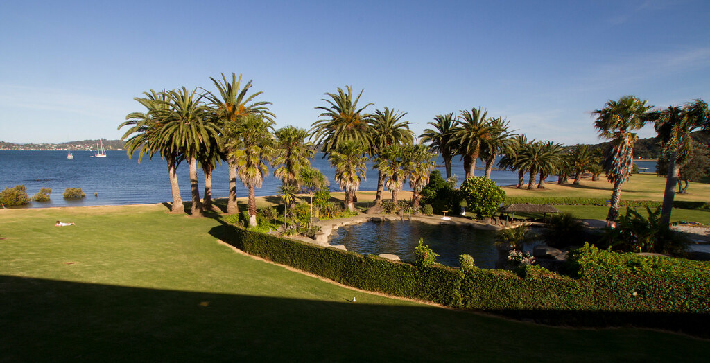
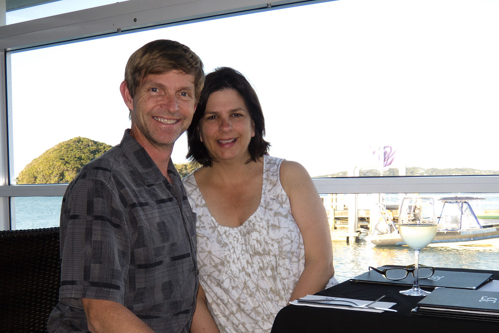
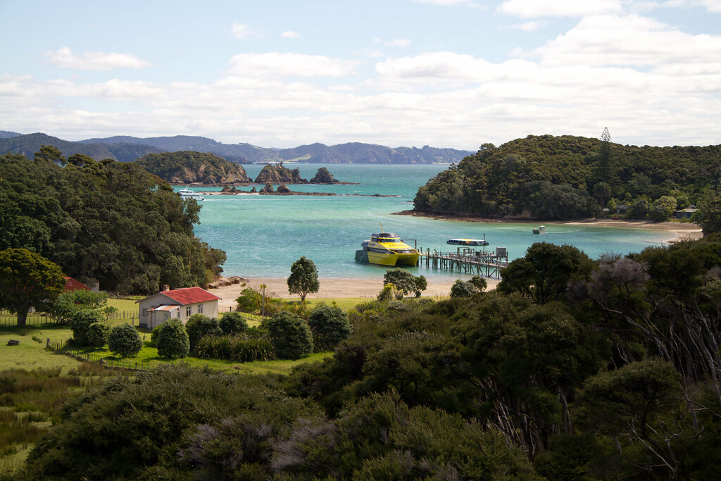
That evening we went into the town of Paihia and had dessert at Alfresco’s. It was excellent and we were beat.
An interactive map of the day’s activities for your enjoyment:

 The morning started at CreativeHQ, a startup incubator in Wellington. I had met Alan Hucks, their Business Strategist, at an AnimFX event and was eager to learn more about them – I had referenced them as a local example of incubator spaces in my class but hadn’t met anyone there yet. Alan arranged for Kim and me to meet Steve O’Connor, CEO, and Tui Te Hau, Programme Manager, this morning. I learned a lot from them about the startup environment in NZ, and left very impressed with what they’re accomplishing and their future plans.